Wednesday 27 July 2016

Crotch Lake Kayak Camping

Crotch Lake - North Frontenac

Note: All images can be seen larger by clicking on them.

Crotch Lake on the Canadian Shield, is situated in and administered by, the township of North Frontenac; providing both kayak or canoe enthusiast with truly wilderness camping opportunities.   The lake is fed by both the Mississippi River and Gull Creek and drains back to the Mississippi which connects with the Ottawa River forming a long established canoe route of many portages.

Crotch Lake
I have camped here on many occasions over the years and this July a friend and I returned for a two night stay.   The lake can be accessed from either the north or south end; I have habitually used the southern one off the Ardoch road and only about a twenty minute drive from highway 7 at Sharbot Lake.  It is worth noting that due to the fact this lake drains to the Mississippi and subsequently the Ottawa, water levels appear to be under the control of Ontario Hydro which regulate this system to maximize its usefulness for hydro-electric power generation.   The result of this is that water levels change drastically through the summer-fall seasons which changes the topography of the shoreline in a less than desirable way, at least from a paddler's viewpoint.   

Southern access
In spring, May-June water is likely at the high water mark which maximizes the area that can be paddled, giving access to some very pretty back-waters such as the waterfall at Gull Creek as seen below in May, also Fawn Lake and Twin Islands Lakes can be paddled with the possibility of camping also.

Falls on Gull Creek
I have camped (site 63) in this area early July, but this trip the last week of July water was so low none of this was accessible.  Probably a good idea to ascertain water levels before choosing a campsite.

Old trapper's cabin
 
Camp July 2016


Some sites which in spring can be paddled right up to, may at low water be surrounded by rocks making loading/unloading a kayak more problematic.  It is still a beautiful lake to paddle throughout the season and for the most part it is quiet with most power boat traffic of the fishing variety.

From Twin-Island Lake
At the north end of Crotch the Mississippi river tumbles into the lake at Whitefish rapids, at high water you can usually paddle over the first set (below) and reach the second.  There are three or four campsites along the river bank here but at low water they are cut off from the lake except by portage.

Whitefish Rapids (lower)
This trip we had perfect camping weather; hot sunny days and warm nights with water just the right temperature for swimming, which we did as our site had a nice rocky ledge over deep water.  And of course facing west some lovely sunsets.
Sunset
Another thing that happens with low water which can be beneficial is that a number of sandy beaches and grassy areas will appear which can make for great places to go ashore for lunch and as can be seen below, provide lunch spots for some of the permanent denizens of the area.

White-tailed deer


Happy paddling from KayakJock


Thursday 14 July 2016

Day Paddles

Day Paddles


This is a new section where I will from time to time provide what I hope will be some useful information on what I consider day paddles in and around that portion of Canada lying within a radius of roughly 150 km of Ottawa, Ontario. These are in no particular order, but will appear more or less by whim or perhaps because I have just paddled yet again.  Distance shown is as I recorded but of course will vary by route you take so just a guide.

1. Kemptville Creek - Curry Park to Rideau River - 10 km

This is a short paddle that I pretty much reserve for those days when I have little time and it has the advantage of being only a 15 minute drive from home and this time was to be the last paddle of the season for me as my yak goes into storage this coming week and Saturday looked very much to be the last decent day in the foreseeable future.  Initially my plan had been to paddle Kemptville to Burritts Rapids had time permit, but Saturdays being what they usually are, shopping etc I almost ran out of paddle time completely and was debating whether worth going at all.  So launching at 3:30 the best I could hope for was down the creek and back likely with the last of this in the dark.


For others contemplating this paddle I might add that this can be extended to a decent day's paddle with possible destinations like Baxter Conservation (appx. 20km) or Muldoon Rd towards Burritts Rapids also about 20 km round trip.  This time of year no one else is out and water levels are down yet again.  Where does all our water go this time of year?  The Rideau, St. Lawrence and Ottawa rivers and just about every lake and stream around get the plug pulled!  I think it is the damn yanks siphoning it off to water their golf courses in Nevada!  Never mind building a wall, we need to build some dams!!


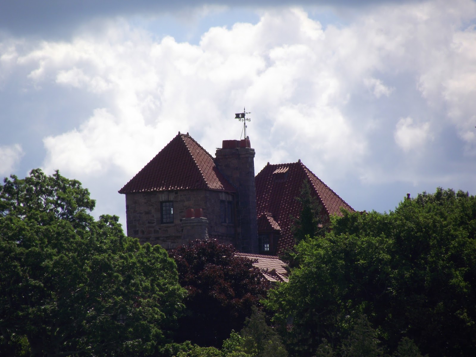
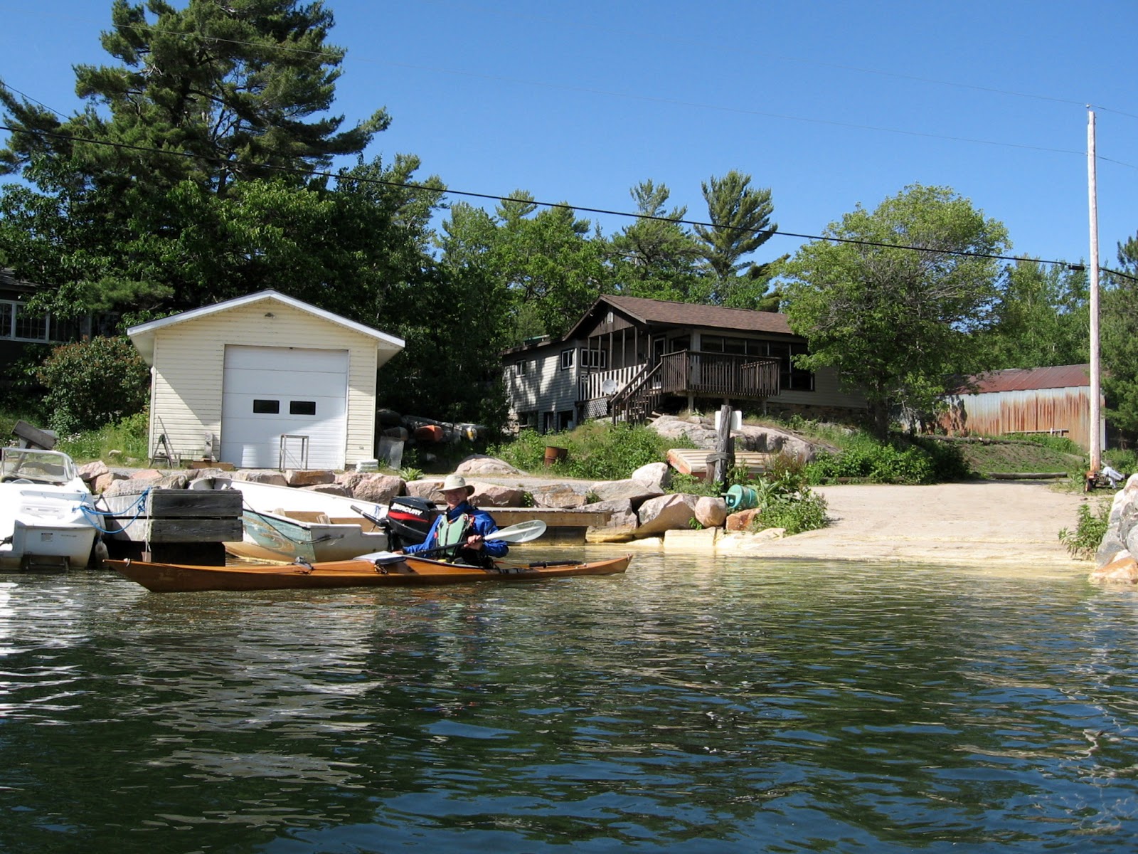
The sun had set by the time I reached the Rideau and had stopped mid-stream to capture an image so I knew I would be paddling some of the way in the dark.  I notice my GPS go dark all of a sudden, why you ask do I need to use a GPS on a creek.   Well I just try to follow as close as I can my outbound track hoping this way to avoid rocks or shallows I happily missed on the way down.  Clever little gadget had switched to night colours which are almost invisible using the marine profile.  Rather than fuss with it I just hit the click stick once in a while to activate the screen for a few seconds viewing.  Being mostly overcast it gets really dark in places but there are a few cottages and as I get close to hwy 43 bridge a house is ablaze with coloured lights, Christmas came early to Kemptville.

Navigation lights?
Excuse the image, I was still moving when I tried to take it.  Till next year!


2.
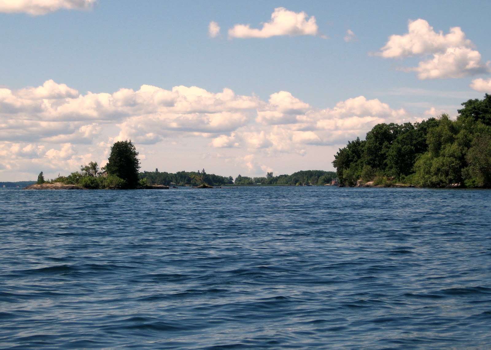
Big Rideau Lake - Narrows Locks to Colonel By island.  15.5 km

Narrows Locks provide easy launching for kayaks for either east or west travel on Big Rideau as well as adequate parking and washroom facilities.  Col By island is maintained by Parks Canada and is considered part of the Rideau Canal Waterway.

Narrows put-in
Col By Island


View from Col. By Island

Boaters travelling the canal can camp here for same rate as charged at locks and washroom facilities are available.  Note, take any garbage you have with you when you leave the island.


Narrows to Colonel By

3.
Big Rideau Lake - Narrows Locks to Westport 16.5 km


Looking west from Narrows
There is a gravel beach almost next to overflow parking lot for Narrows on west shore of isthmus providing easy launch.  Travelling west following north shore of Big Rideau will bring you to Westport a picturesque village and tourist attraction at the western extremity of Big Rideau.   Several restaurants, some doing take-out make for a pleasant interlude before paddling back.


Narrows to Westport

4.
St. Lawrence River - Singer Castle - Grenadier - Rockport 28.5 km

For this paddle the ideal launch site is Parks Canada facility at Mallorytown Landing, just off the Thousand Islands Parkway at the junction of County road 5.
Singer Castle - Grenadier - Rockport
Singer Castle on Dark Island, was built in 1905 by Frederick Bourne, one time president of Singer Sewing Machine Co. and today is open to visitors via tours out of Alexandria Bay NY. Like Boldt Castle this is a very impressive edifice and well worth the trip.   Dark isle lies about 4 km east of Mallorytown Landing in U.S. waters so that is our primary destination before heading SW along the outer shores of Grenadier island.

Dark Isle
Singer Castle


Singer Castle
Travelling SW you come to Peel, the first of a string of small islands running NE of Grenadier island, bearing a little more left you should pass Grenadier's most easterly point and thence follow Grenadier SW till reaching its end.  Sister island with its lighthouse will be noticed to your left, almost marking the international border it is in fact just inside u.s. waters.   The bay to your right has a sunken wreck of unknown provenance which may be marked by a plastic float. On calm bright days some of the timbers are still visible.

Peel island
Sister 


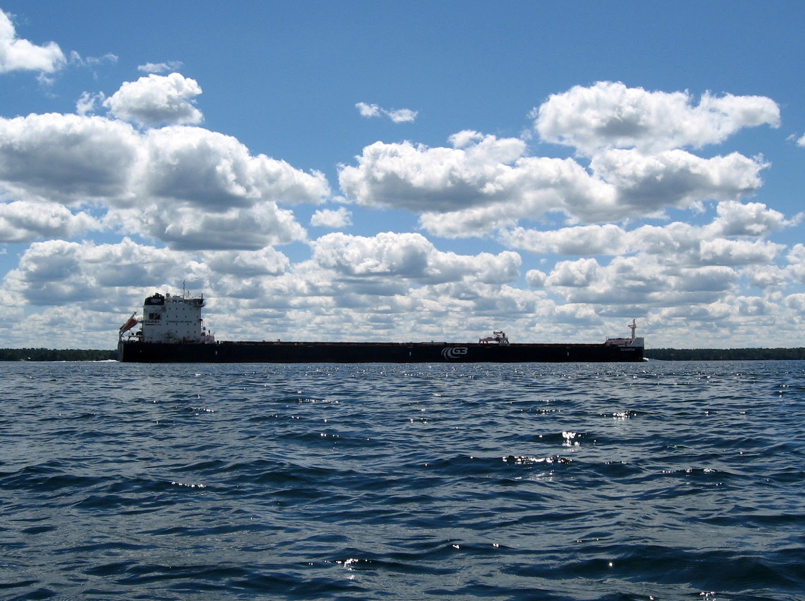
As the shipping channel is just beyond Sister island you may get lucky and get a little surfing from the wake of a passing freighter.

3G Maquiss
Passing Grenadier West and heading WSW will take you past Little Grenadier, Doctor, and Tar island on your way into Rockport where you can land on the grassy slope between the church and Boathouse restaurant.  If you can secure a seat on the deck at the Boathouse you will have a view of your parked kayaks. Three restaurants all very busy during the summer season servicing the thousands of tourists bused in for boat tours of Boldt castle and the Thousand Islands.
Boathouse Restaurant
Paddling into Rockport at the height of the summer season can be a bit unnerving as it is a high traffic area with power boats of all types zooming around you and on windy days the geography of the islands combined with wakes can make for very confusing water.  Taking the innermost channel through Tar Island Narrows is your quickest way out of this busy area and shortest return route to Mallorytown Landing.

O'Neil island
5. Charleston -  Charleston Lake -Charleston to Bill Island 17.5 km


Charleston Lake

The village of Charleston is the north access for Charleston Lake and during the summer season becomes a very busy place particularly on weekends but you should be able to find parking near the boat ramp at the west end of Water street.  This is a large lake with many cottages on numerous islands but is also home to Charleston Provincial Park which occupies a large area to the west and south affording a beautiful wilderness area.  I often head for Bill island at the north end of Donaldson arm by a variety of routes of varied distance.  This small island belongs to the park so I stop here to lunch and maybe a swim. A quieter area with few cottages.


Donaldson Arm from Bill island
There is also a nice beach in Sand Bay at the county park in the NE corner of the lake, about a 3.5km paddle from put-in.  It can also be reached by co-rd 39.  Access to the Provincial Park is at the south end of Charleston Lake off co-rd 3.

Charleston Lake
6. Rideau Lakes Township - Morton to Delta - Lower Beverly Lake - 24 km


The village of Morton is reached by highway 15 from Smiths Falls and there is a canoe/kayak dock on Morton creek just off the highway beyond the bridge.  You can park along the mowed verge.  This access is provided on private land so be respectful. 
   
Put-in
Morton creek


Morton creek meanders almost five and a half kilometers before reaching the lower SW extremity of Lower Beverly lake.  A very pretty paddle through a mix of farmland and deciduous woodland with a few cottages closer to highway 15. Then almost another 5 km up the SW arm before reaching the main body of Lower Beverly.
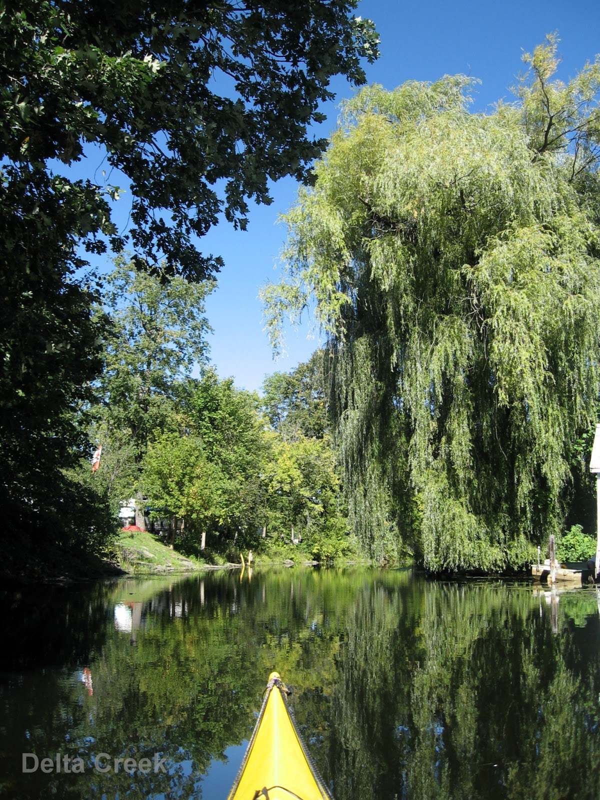


Delta creek
From here it is another 2 km across to the east shore where you can enter Delta creek which leads to the picturesque village of Delta with its historic mill once powered by the waters of Delta creek flowing from Upper to Lower Beverly Lake.  Here you can find a public launch where you can take out and have lunch.
Delta public ramp


From Lower Beverly to Delta is approximately 1 km up Delta creek which has a township campground on it's north side and houses on the other.  A little beyond the public ramp is the mill race and dam, thereby access to Upper Beverly would require a portage.

Friday 1 July 2016

Minks & McCoys, Georgian Bay

Georgian Bay:
Minks, McCoys & Franklin Island


Day 1
Please note, click on any image to see original size.

After a hiatus of several years I am finally able to return to Georgian Bay to hopefully complete my exploration of the Minks & McCoy islands which due to strong winds was not completed on my previous visit.   On Tuesday June 21 I set out with paddling friend Dave with the intention of meeting another paddler Ray, at Snug Harbour around 2 pm.  Our original plan was to leave Monday but weather report called for 30 km wind with 70 km gusts and likely thunderstorms in the area, hence the delay.   Yet another delay arose as my travelling companion met with traffic delays en-route to my home, so we were not on the water till almost 4 pm.  No worries, while still quite windy weather is fair and and the decision is made to look at sites on Franklin Island's west side.

Depart Snug Harbour
Camp 1


We stop first near Lenice Island a  site I have previously used, then travel north to look at possible site at Spears Island or Cunningham Bay.   The former did not look suitable for 3 tents or easy unloading and I know that Cunningham Bay could require a lift-over at the access point if water levels are low so we decide  on the known quantity and return to the island about 150 m NW of Lenice island to set up our first camp.   Parking is a little tricky here in the small cove behind the island but we get unloaded and lift the kayaks on to the rocks and secure bow lines just in case.  This site is equipped with a thunder box, always a welcome amenity !   Plenty of room for our three tents and after setting up we go about getting our evening meal and preparing a fire for later.
Boat parking *
Campfire
After dark there are a few mosquitoes and we decide to call it a day.  I am awoken in the early hours by high winds shaking my tent and start to worry that I did not spend enough time securing my tent.  We are on bedrock so no pegs just boulders attached to the guy lines (I hope).  I consider getting up to check but realise that while I am in it I am helping to hold it down, so stay put!   Around 5 am the wind begins to drop and by the time I get up it is looking like it will be a very pleasant day.

Sunset from camp 1

Day 2
Our second day, breakfast over we head NNW for our next camp on Big McCoy, there is a bit of wind mostly west or NW so we tend to keep to the lee of islands as we work our way along the coast.  We spot an adult Bald eagle lift off from it's aerie on Ardagh island and then at Edgar island we stop for lunch.


Aerie
Lunch

Dave
We begin bearing more NW as we pass Oak island, heading first for Twin Sisters island then Colley island  turning west towards Big McCoy where we plan to spend the next two nights.  Shoals abound off the east shores of Big McCoy and care must be taken as we thread our way through.  This time of year pollen is at its peak coating the water and any rocky shore that is lapped by waves.  This results in rock that is deadly slick which makes for difficult landing or boarding a kayak but we manage to successfully get the kayaks to safe storage away from waters edge.  Later that day I become first victim to this condition as I slip and dunk while trying to scoop a pot of water, but luckily no injury is sustained except perhaps to my pride.  Plenty of room to camp on this island and a fire ring surrounded with rocks suitable for sitting or supporting stoves is in place, there is also a thunder-box for added convenience.


Heading for Big McCoy
The tree that never was
Fox snake
Big McCoy #
We find we are not alone but have a Fox snake sharing our campsite which we are delighted to see.   I have come across this species on previous visits to GB but so far I have yet to encounter the Massasauga rattlesnake common to the area.   Looking SE towards the mainland one can see what appears to be a giant conifer towering over everything else; on closer examination it appears to be manmade, the branches being extremely uniform and the trunk curiously square.  Like a big Xmas tree from Wal-mart!  We reached the conclusion that it is some kind of communication tower tarted up to blend into the environment.  There certainly is great mobile phone coverage on the island!

Dusk tranquility on Big McCoy

Sun sets over Chippewa & Little McCoy

After dinner the fire is prepared for later, plentiful supply of dry wood from trees that failed to withstand the Lake Huron westerlies and their tenuous hold on the meager topsoil.  Then a short walk to view yet another spectacular Georgian Bay sunset.  Tomorrow we will head out to paddle around the Minks.

Day 3
Our third day dawns gorgeous and very calm, ideal for a paddle down the Minks with it's numerous shoals and we can visit Green island which is known to have campsites so a good place to stop and have our lunch.  There is also a shipwreck just west of Green island that we could try to find.  Perfectly calm so we leisurely paddle taking in the varied sites, wild Iris and orange coloured lichen cling to rocks and one island abundantly covered with some very yellow flora that I could not identify.

Wild Iris
Unknown flora
A waypoint for the wreck of the Seattle places us over a shoal just NW of Green island but we can not determine any wreckage.  A little research determines that the Seattle a steam barge was wrecked Nov 11,1903 when she lost power and was washed onto the shoal.  Out of Parry Sound carrying lumber to Detroit: no loss of life!  So on to Green island and lunch.
Ray
Self on Green island


This is not a large island but there are a few spots suitable for camping, many of the Minks are private or small so Green island is best bet before reaching Snake island further south of the Minks.  On our return paddle we take a look at an islet populated by nesting Cormorants and find they are trying to protect young from predatory Herring gulls who are feasting on Cormorant chicks they snatch from nests.   Nature is brutal!

Cormorant roost
The wind has suddenly picked up from the west as we travel back towards the McCoys where we decide to visit Little McCoy by first paddling through the channel that separates Chippewa from Big McCoy.   Little McCoy is signed as conservation land so no camping or fires permitted here but you are allowed to visit.  From here we circle around the north end of Big McCoy to complete the circumnavigation of the island.  The evening brings us another wonderful sunset to watch then it is time for some relaxation around the campfire before calling it a day.

Waiting for sunset
Campfire #


Day 4
Another lovely day dawns and we break camp as today we will paddle back to the north end of Franklin island coasting along the mainland to check out areas as yet to be seen.   We plan to stop at King island for lunch, this is not private and can be camped on but I would prefer to camp at Corbman Point if available, there is a nice sandy beach there so landing kayaks will be a breeze.
Abandoned cabin
Exploring coast


A swim at Corbman Pt. beach
Lunch over we paddle the short distance to the beach campsite at Corbman Point and find that happily the site is vacant so land and set up what will be our last camp of the trip.  After getting our camp set up there is time for a refreshing swim before getting back in the boats for a trip over to Dillon Cove marina for some ice cream.  Round trip is only about 5 km.
Dillon marina
Dillon marina


Real luxury at this site, thunder-box and a picnic table plus the ease of sliding off and on a sand beach.  Once again we are treated to a spectacular sunset for our last night of camping.

Corbman Pt. camp *

Sunset at Corbman Point

Day 5
Our last day and it will be as nice as the previous ones.  We have decided to return to Snug Harbour via the Sheshebong channel, my companions have never been here before so would like to see the inside passage and I plan to check out the campsites for possible use on future trips.  So packed up, we bid farewell to this comfortable site and head for the inside passage.

Corbman Point camp
Travelling SSE we hug the eastern shores of Franklin island, exploring all the little coves and bays and evaluating any campsites as they appear.  The only drawback if I may call it that, is the mainland side of the channel has quite a few cottages so you tend to encounter more power boats than you would on the western shore of Franklin.  It is still a very pleasant paddle and a couple of the sites look promising if you had to escape rough weather.   As we near Burritt Pt one of our group decides to make for Snug and an early start for home, the other will accompany me to explore Regatta Bay and possible camp sites I am aware of referred to as Island Lakes on Franklin's southeast shore.


near Regatta Bay
Regatta Bay


Just north of Regatta Bay are a couple of sandy beach areas suitable for camping and in the bay itself is an area designated as Boaters Camping which includes a dock and some mooring facilities for power boaters.  A kayaker could find a spot to camp on the rocks but would not have much privacy.  A little further south we find the narrow entrance to Island Lakes, if water levels were down you might have to carry over but this time we were able to travel almost 1.5 km through connected lakes into a lovely peaceful environment very nice for camping and no power boat could make it in here.

Possible Island Lakes campsite
Narrow exit *

From here we head northeast to pick up the channel behind Snug island to take that as yet unpaddled route back to Snug Harbour to take out and head for home.

Snug Island channel

Happy Paddling

from

KayakJock


Images marked * courtesy of Dave
Images marked # courtesy of Ray